Getting There
|
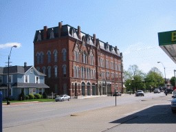
Overnighted in Sidney, Ohio. This is a building there. |

Urbana, Ohio. |
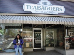
It had a pleasent little tea room, where we got some coffee. |
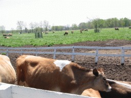
Yellow Springs, Ohio. The cow place! |
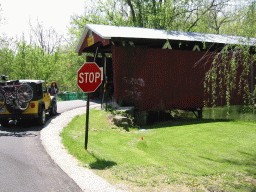
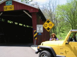
A covered bridge near Xenia, Ohio. |
|
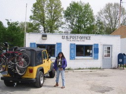
A quick stop at the post office in Midland, Ohio, to get post card stamps. |
|

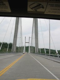
The new bridge over the Ohio River in Aberdeen, Ohio. |
|
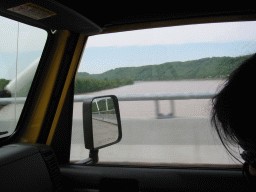
Our first crossing of the Ohio River. |
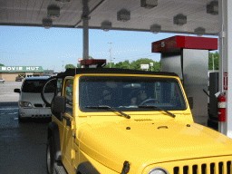
Gassing up Scotty in Paducah, Kentucky. |
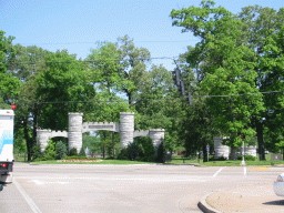
Paducah, Kentucky: Bob Noble Park. |

Another picture of Bob Noble Park. |
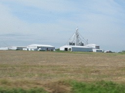
What the heck are all of the pipes for? |
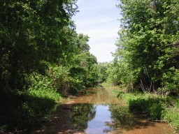
A shortcut on Gum Corners Road, between Barlow and Wickliffe, Kentucky. |
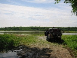
We used this spot to turn around. Not a good shortcut today. |
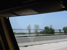
|
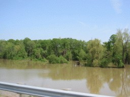
The Ohio River looks a little extra. |
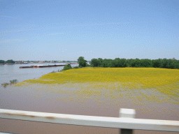
The Mississippi River looks a little extra as well. |

|

|
|
|
|
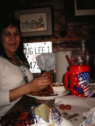
Lunch at Lamberts, home of the throwed roll. |
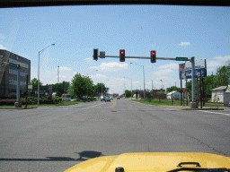
Dexter, Missouri. |
|

|
|

Breakfast donuts in El Reno, Oklahoma. |
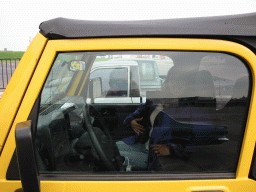
|
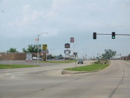
Clinton, Oklahoma? |
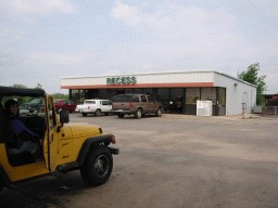
Sayre, Oklahoma. Gas stop, getting onto Route 66. Why do they have minnows for sale? |
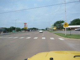
Sayre, Oklahoma. The famous Western Motel on Route 66. |
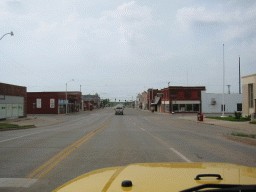
Downtown Sayre. |
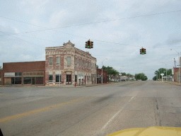
Erick, Oklahoma. A Route 66 near-ghost-town. |
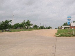
Texola. A Route 66 ghost-town. |
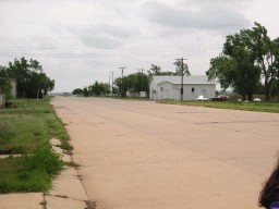
Texola (looking East). |
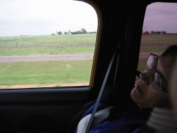
Jeannette takes a nap as we go west towards Amarillo, Texas. |
|
|

|
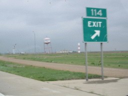
Groom, Texas: home of the leaning water tower. |

The leaning water tower. |

Also in Groom is the Giant Cross (reputed to be the largest in the western hemisphere). |

The Giant Cross. It's Texas big! |
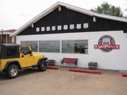
This is the official midpoint of Route 66: Adrian, Texas. Great cafe, great owners! |
|
|
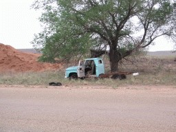
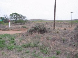
Glenrio, Texas. An old Route 66 stop, now a ghost-town on the Texas and New Mexico border. |
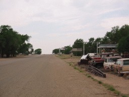
The old motel: The first motel in Texas, the last motel in Texas. |
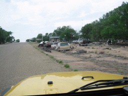
|
|
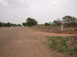
Looking back into Glenrio: the Texas and New Mexico state line road goes off to the right. |
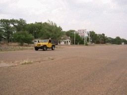
The old motel: The first motel in Texas, the last motel in Texas. |
|
|
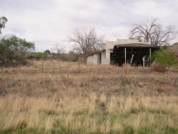
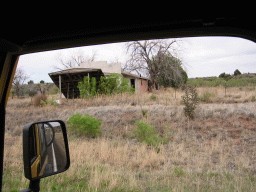
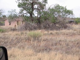
Another old gas station / motel along Route 66, somewhere near Endee, New Mexico. |
|
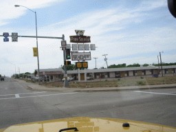
Tucumcari, New Mexico. |
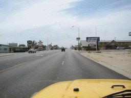
Going through Tucumcari. |
|
|
|
|
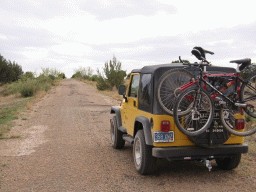
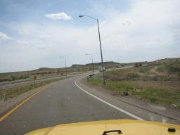
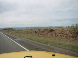
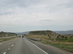
Route 66 is disintegrating (at least on this stretch between Cuervo and Santa Rosa). It was decomissioned in 1985. |
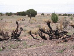
These short plant things line the side of this stretch of Route 66. |
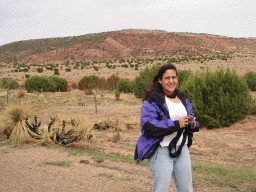
Jeannette is also there to help you find your way along Route 66. |
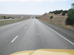
I-40 is in better shape than Route 66. |
The Last 30 Miles
|
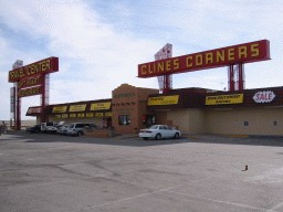
Clines Corners - where I-40 meets US-285 to Santa Fe. |
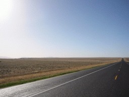
US-285 north-west towards Santa Fe. |
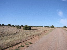
Highway 34. |
|

|
|
|
|
|
|
|
|

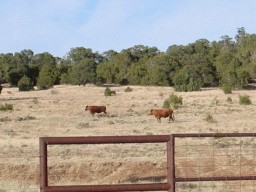
More of the locals. |
|

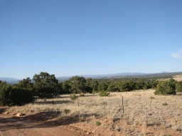
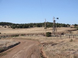
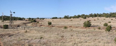
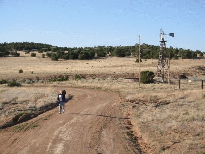
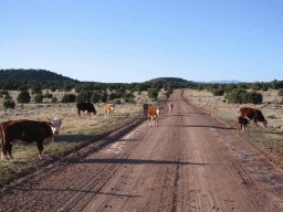
Charlotte and Bill's house! |
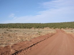
Their road... |
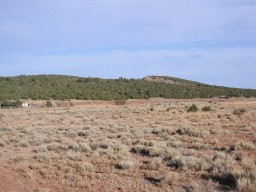
and their backyard. |
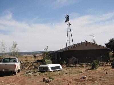
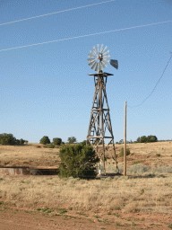
They have a windmill and a solar collector. |
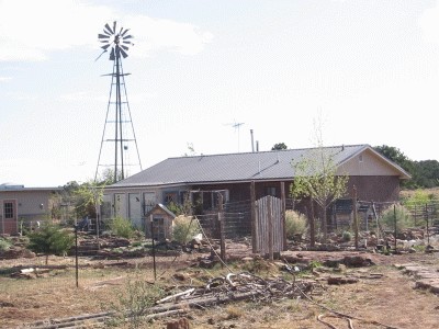
Their house! Charlotte has been laying down rock pathways. |
Doing Stuff
|
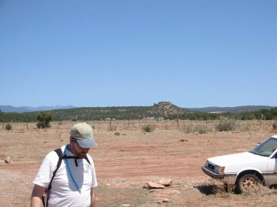
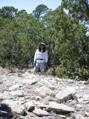
We're going to hike up to that mesa (in the middle). Bill is all set! |

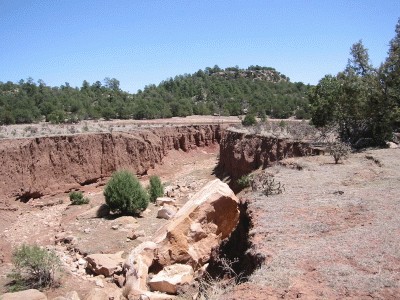
The (currently dry) stream Canada de la Vaca. |
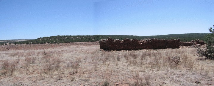
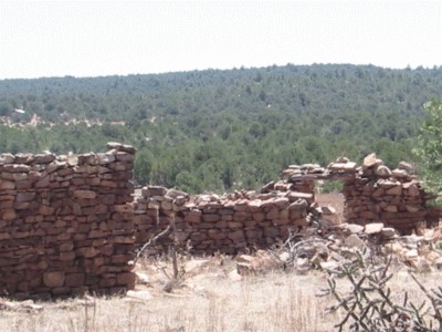
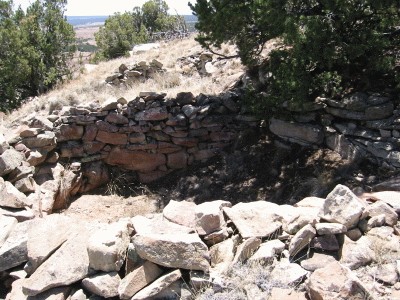
An old home, next to an old spring (now dry). |
|
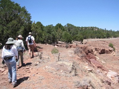
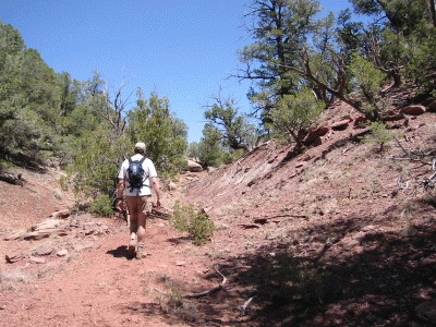
Hiking the stream. |
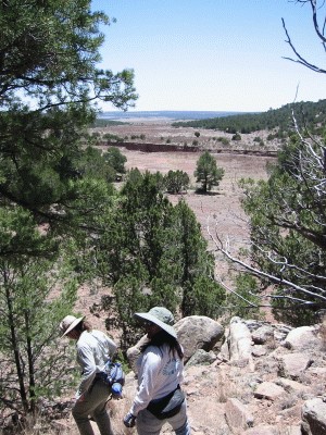
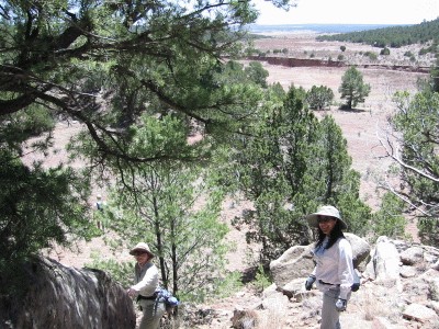
The mesa we are aiming to climb. |
|

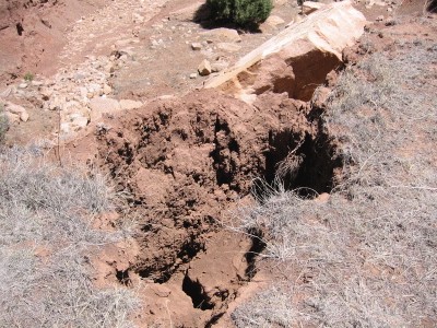
We spotted a bull snake! (not poisonous) |
|
|
|
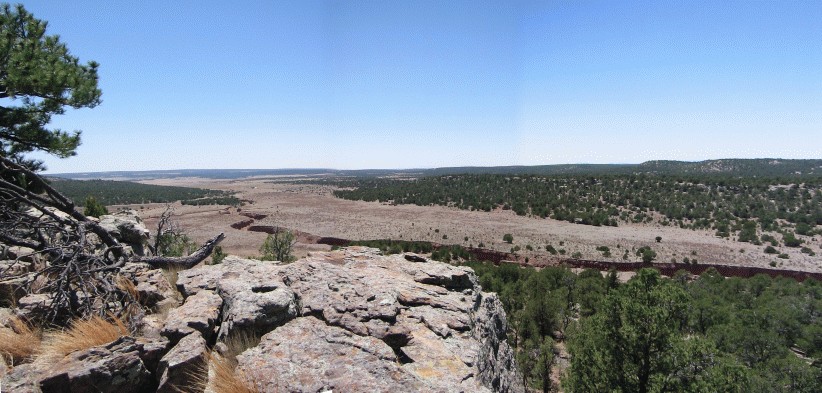
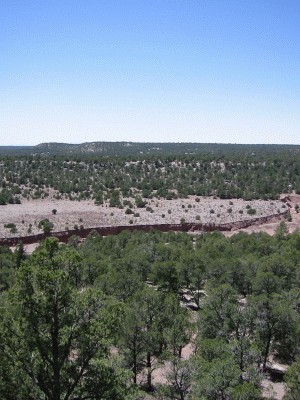
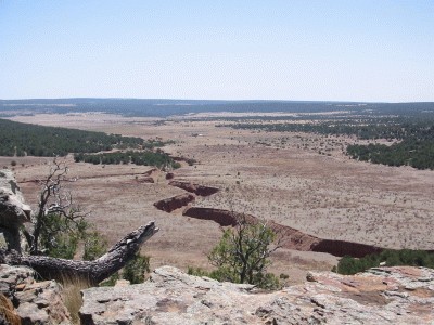
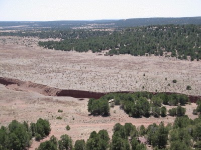
A view of the stream from the mesa (looking south). You can see their house as the little white spec. |
|
|
|

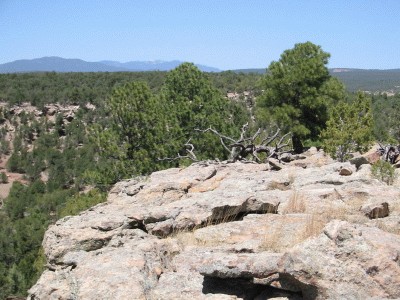
Looking east from the mesa. |
|
|

|
|
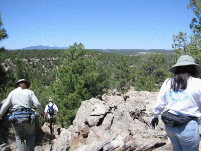
Heading back. |
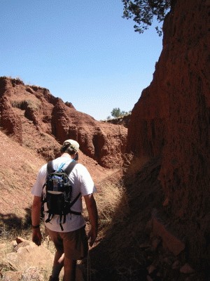
In the stream's little canyon. |
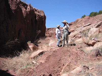
Jeannette and Charlotte discuss geology. |
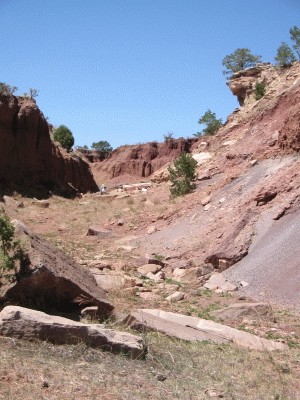
|
|

|
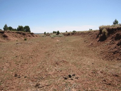
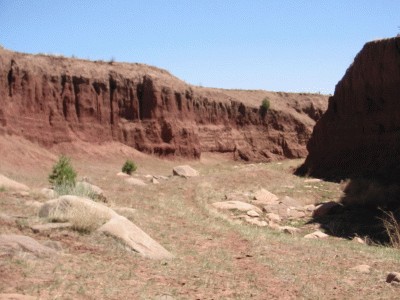
The stream bed widens out as we get closer to their property. |
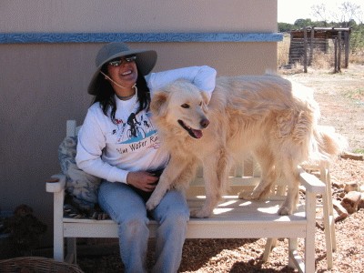
Toby! |
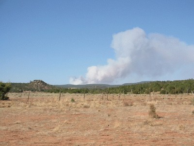
A forest fire has started near Pecos (the Dalton Fire), less than 15 minutes ago. |
Bike Ride
|

|

|
|
|
|

|
|
More Stuff
|
|
|
|
|

|

|
|

|
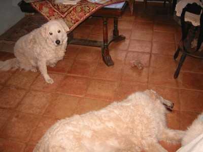
Sheeba and Montana (sleeping). |
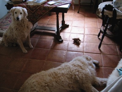
Sheeba and Montana (sleeping). |
|
|
|
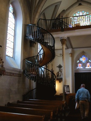
The Miraculous Staircase in Santa Fe. |
A Little Hike
|
|
|

|
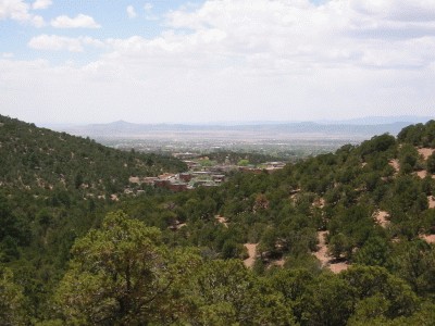
|

More geology. |
A Little Afternoon Shopping
|

|
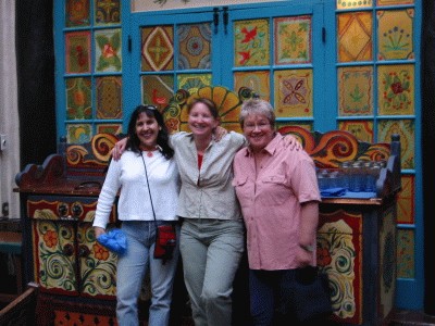
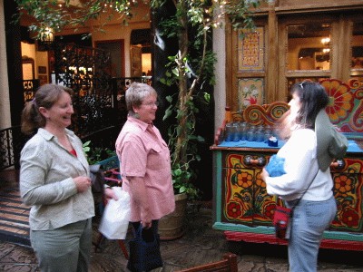
Charlotte's friend Cheryl joined us. |
|
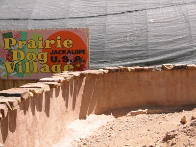
Jackalope
|
|

|
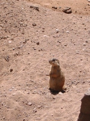
|
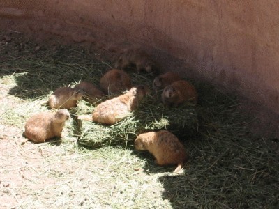
|
Leaving Town
|
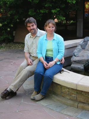
Bill and Charlotte. |
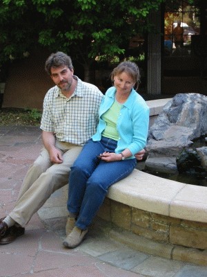
Bill and Charlotte. |
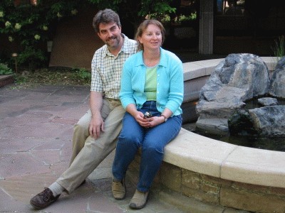
Bill and Charlotte. |
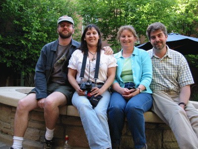
Mark, Jeannette, Charlotte, and Bill. |

|
|
|
|
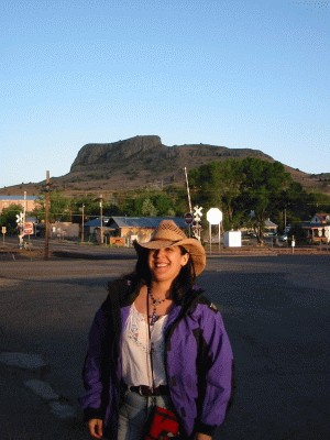
Jeannette in front of Wagon Mound, in New Mexico. |
|

|
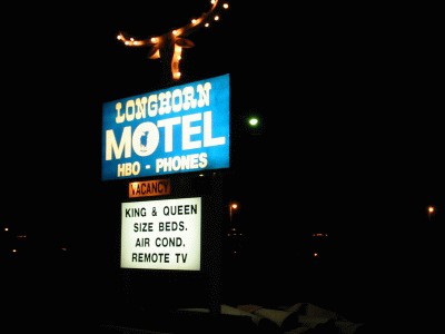
Spent the night at this cute little motel in Boise City, Oklahoma. |
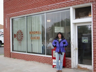
Breakfast in Boise City, Oklahoma. |
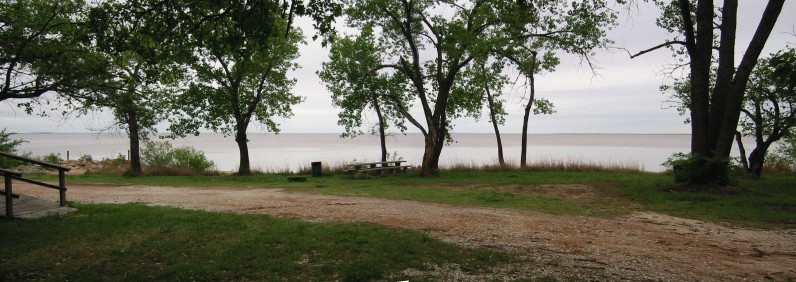
Outside Jet, Oklahoma, there is a salty reservoir: The Great Salt Plains Lake. |
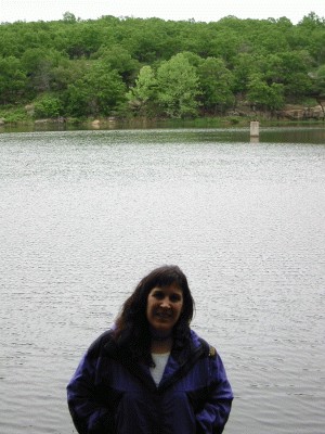
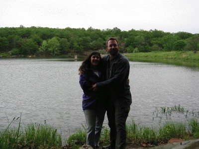
Jeannette at Lookout Lake, between Pawhuska and Bartlesville on US-60, in the Osage Hills State Park. |
|
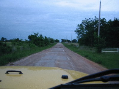
Route 66 entering Miami, Oklahoma. |
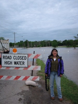
Part of Route 66 was closed, because the Neosho River was flooding. |
In Joplin, Missouri. |